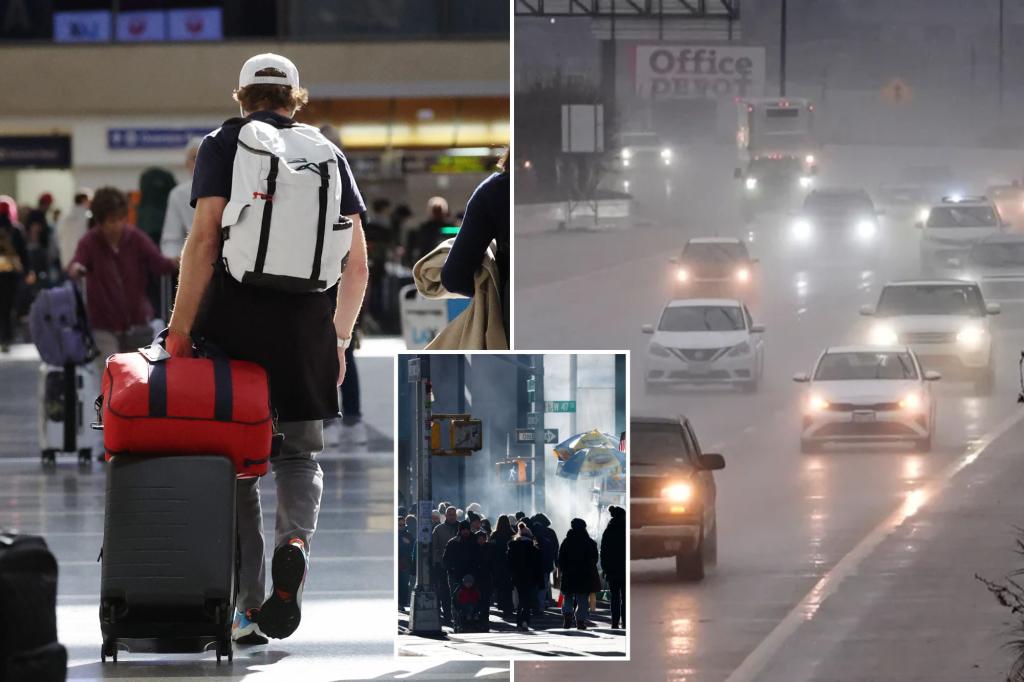
Millions of people who are heading home after Christmas will be faced with stormy conditions as rain, severe weather, and snow are expected across various parts of the country. Severe thunderstorms on Thursday in Texas caused multiple flight delays and cancelations in Dallas and Houston. The severe weather then moved east out of Texas leaving calmer weather in the Lone Star State on Friday. However, the rest of the South now faces a two-day threat of severe weather, with a level 1 threat on Friday along the Gulf Coast and the potential for thunderstorms that could affect travel from Nashville to New Orleans and reach north into the Ohio Valley and Great Lakes. The severe weather threat increases on Saturday with large areas of Louisiana, Mississippi, Arkansas, and Alabama facing level 2 or 3 out of 5 severe weather threat, with the possibility of strong tornadoes, large hail, and damaging winds, according to the Storm Prediction Center.
In the Northeast, New York City experienced its first white Christmas in 15 years but is now facing mild temperatures and rounds of rain that will melt the snow. Several systems are expected to track into the Northeast and keep the forecast wet and turbulent through the end of the year. Round 1 will bring light and scattered showers as the system that caused severe weather in the Southern Plains weakens and moves northeast on Friday. A light glaze of freezing rain may affect areas in northern New Jersey, northeastern Pennsylvania, and south-central New York, with Winter Weather Advisories in place. Round 2 arrives on Sunday with additional Gulf moisture being pulled north into New England, creating a flash flooding risk for the interior Northeast. A third system could impact New Year’s Eve celebrations with the potential for rain.
The Pacific Northwest is experiencing a series of storms moving in off the Pacific through Saturday, with seven different systems expected to impact the region by the weekend. Seattle saw 15 consecutive days of reported rainfall, with several additional inches expected to fall across western Washington, Oregon, and northern California. The repeated rounds of rain are increasing flood and landslide concerns at lower elevations, while the higher peaks of the Cascades are expected to see more than 7 feet of snow. Driving across mountain passes has been difficult at times due to heavy snow causing multiple spinouts. Overall, the West Coast continues to face challenging weather conditions with the ongoing storms.


