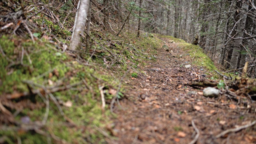
The article delves into an archaeological expedition in northwestern British Columbia focusing on the Babine Trail network, an ancient path used by the Gitxsan people for centuries. The expedition aims to connect and mark parts of the trail to preserve Indigenous heritage and history. The trail faces a potential threat from the construction of the Prince Rupert Gas Transmission pipeline, prompting the team to mark the trail and raise awareness to protect it from being destroyed.
The story outlines the challenges faced by Indigenous communities in preserving their cultural heritage and connection to the land in the face of development projects like the pipeline. The team uses lidar technology and on-ground surveys to identify and mark culturally modified trees along the Babine Trail. The article highlights the importance of preserving the intangible memories and stories embedded in the landscape and the need for evolving cultural resource management practices.
Western archaeologists historically focused on site-based approaches to archaeology, overlooking the interconnected landscapes and movement patterns of past societies. The article discusses how lidar technology is changing the field, allowing researchers to map extensive ancient trail networks like the Babine Trail, shedding light on the significance of these linear cultural features. The research also emphasizes the importance of incorporating Indigenous stories and perspectives into archaeological studies.
The article delves into the legal backdrop of Indigenous land rights battles in British Columbia, citing the Delgamuukw v. British Columbia case as a pivotal moment in recognizing the validity of oral histories as evidence of Indigenous sovereignty. However, the struggle for land rights continues as economic development projects prioritize resource extraction over Indigenous cultural heritage. Indigenous communities are turning to geospatial mapping technologies to prove the validity of their stories and challenge archaeological assessments conducted on their lands.
The article illustrates the conflict between Indigenous communities and development projects like the Coastal GasLink pipeline, which threatens to disrupt sacred trails and heritage sites in Gitxsan and Wet’suwet’en territories. The narrative follows Indigenous leader Mike Ridsdale’s efforts to document the Kweese War Trail and raise awareness about the impacts of pipeline construction on cultural and environmental resources. The struggle highlights the complex dynamics between Indigenous rights, economic development, and environmental conservation in a rapidly changing landscape.
The article touches on the clash between Western spatial conventions and Indigenous knowledge systems, emphasizing the need for a more inclusive and collaborative approach to landscape mapping and cultural preservation. Indigenous communities are using geospatial technologies to document their heritage and challenge conventional archaeological assessments. The narrative underscores the importance of recognizing and respecting Indigenous worldviews and stories in the context of land rights disputes and environmental conservation efforts.
In conclusion, the article portrays the intersection of archaeology, land rights, and environmental conservation in northwestern British Columbia, emphasizing the challenges faced by Indigenous communities in protecting their cultural heritage. The tale of the Babine Trail reflects broader issues surrounding development projects, legal battles, and the need for innovative approaches to preserving Indigenous history and landscapes. The narrative highlights the ongoing struggle for recognition, representation, and conservation of Indigenous heritage in the face of modernization and environmental threats.


