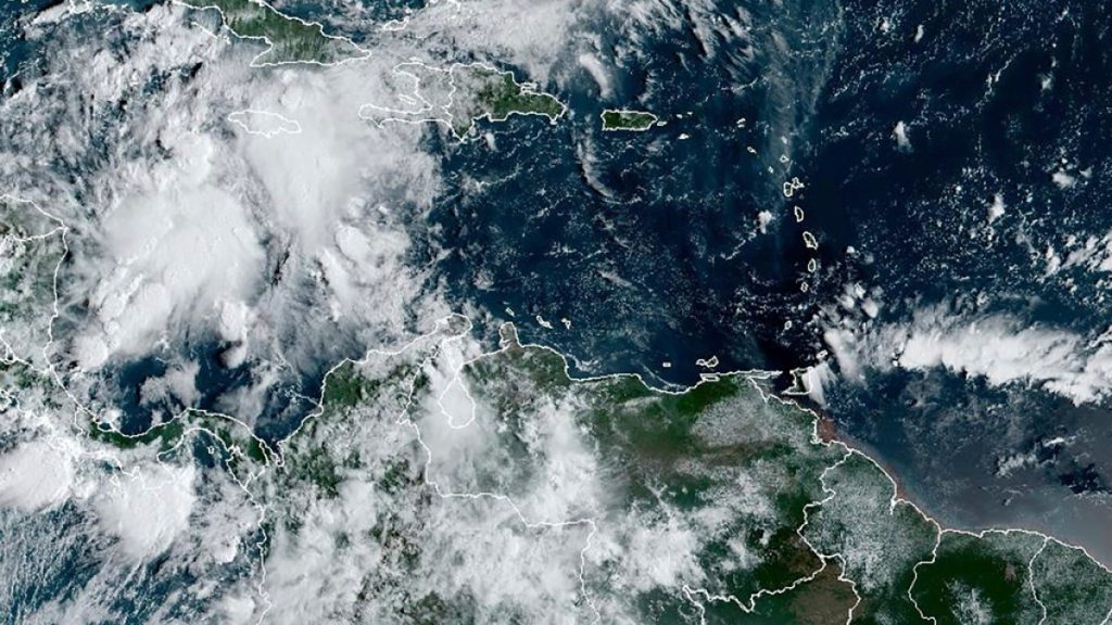
A system of storms in the Caribbean is expected to develop into Hurricane Helene by the middle of the week, with parts of Cuba and Mexico under a hurricane watch. The storm system is predicted to strengthen into a major hurricane as it moves north towards the southern coast of the United States. The US National Hurricane Center (NHC) forecasts that Helene could be a major hurricane with maximum sustained winds of 177km/h (110mph) by the time it reaches the northeastern Gulf Coast on Thursday, bordering on Category 3 on the Saffir-Simpson Hurricane Wind Scale.
The warm waters of the Gulf of Mexico are expected to help the storm intensify significantly over the next few days, with the system currently located south-southwest of Grand Cayman and moving north. A hurricane watch is in effect for the province of Pinar del Rio in eastern Cuba and part of the Yucatan Peninsula of southeastern Mexico. Heavy rainfall is forecast for western Cuba, the Cayman Islands, eastern Mexico, and the southeastern US, starting on Wednesday. Up to 1.2 meters (4 feet) of storm surge is also predicted for parts of Cuba and Mexico.
Helene would be the eighth named storm of the current Atlantic hurricane season, the fourth to make landfall in the US. This year’s hurricane season has coincided with an insurance crisis for homeowners in some US states, with rising fees and reluctance from private insurers to provide coverage in coastal areas. The US National Oceanic and Atmospheric Administration had predicted an above-average Atlantic hurricane season, with 17 to 25 named storms and four to seven major hurricanes of Category 3 or higher. However, the season has had a slow start, leaving forecasters searching for factors that may have impeded the formation of major storms.
Since 2000, only three other years besides 2024 have had four or more storms make landfall in the continental US. Hurricane Francine struck the Gulf Coast of Louisiana as a Category 2 storm barely two weeks ago. The hurricane season is expected to last from June 1 to November 30, with the current system of storms representing a significant threat to the Gulf Coast and southeastern US. As forecasters continue to monitor Helene’s development and potential impact, residents in the affected areas are advised to stay informed, follow evacuation orders, and take necessary precautions to ensure their safety.
As Hurricane Helene approaches the Gulf Coast of northern Florida, weather forecasters are closely monitoring its progress and potential impact. With the storm expected to become a major hurricane by midweek, residents in the region are urged to prepare for high winds, heavy rainfall, and the possibility of storm surge. The combination of warm waters in the Gulf of Mexico and favorable atmospheric conditions could contribute to Helene’s rapid intensification, posing a significant threat to coastal communities in its path. As the storm continues to develop, authorities are issuing alerts and advisories to keep the public informed and ensure that appropriate measures are taken to mitigate the potential risks associated with the impending hurricane.


