


River avulsions, where a river breaks free from its channel and carves a new path across the landscape, can lead to devastating floods affecting communities with little warning. Researchers have long been puzzled by the process behind river channel diversions, known as avulsions. A recent study published in Nature offers new insights into this process, revealing that two factors, superelevation and slope advantage, play a crucial role in setting the stage for river rerouting. This study also introduced an algorithm that can predict the new path of a river post-avulsion, showing promising results.
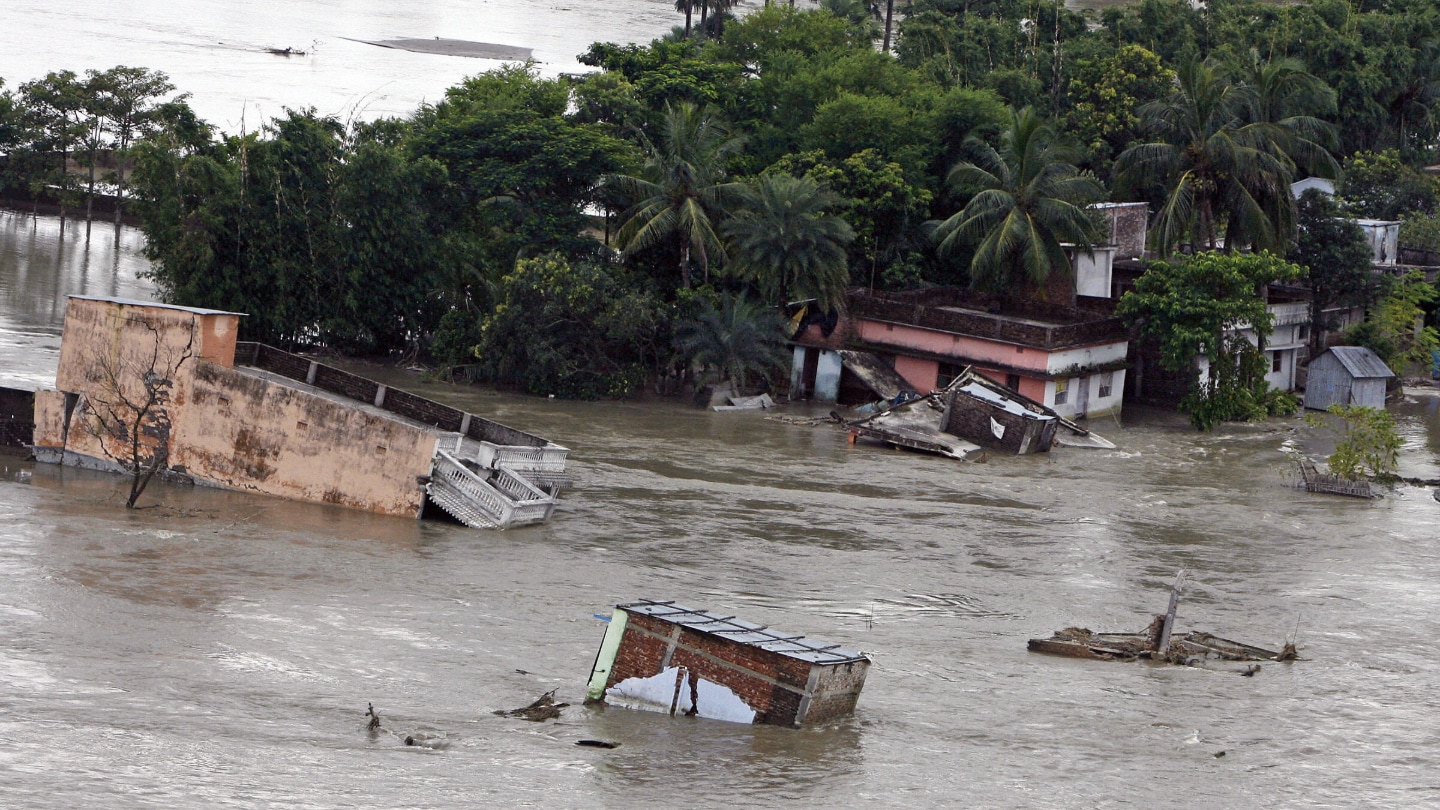
Avulsions can result in significant floods that have the potential to impact millions of lives, making them a challenging natural hazard to predict. The trigger for an avulsion can vary, whether it be a flood, earthquake, or other factors. However, the setup, which involves the deposition of sediment priming a river for diverting, is a fundamental cause of avulsions. By understanding the setup and the trigger, researchers hope to improve flood hazard models and better predict where rivers might reroute in the future.
Two competing hypotheses, the superelevation theory and the slope advantage theory, have been proposed to explain avulsions. By analyzing satellite data of various river avulsions, researchers found that avulsions were more common near river mouths and mountain fronts than in other areas. They discovered that the superelevation theory best explained avulsions near mountains, while the slope advantage theory was more effective near river mouths and deltas, shedding light on the role of these factors in river diversions.
The study highlighted how superelevation and slope advantage work inversely in causing avulsions. The more superelevated a river becomes, the less slope advantage it needs to avulse, and vice versa. This relationship was integral in determining the threshold value that leads to an avulsion. The researchers developed a computer algorithm that successfully predicted the pathways of past avulsions, showcasing its potential to create hazard maps and identify areas vulnerable to river diversions.
By further refining the algorithm and gathering precise topographical data, researchers aim to develop global or region-specific avulsion hazard maps that can help in identifying areas at high risk of avulsions. This tool could be instrumental in improving flood hazard models and aiding in disaster preparedness and response efforts. The research offers valuable insights into the complex dynamics of river avulsions and presents a promising approach to mitigating the impacts of these potentially catastrophic natural events.


