


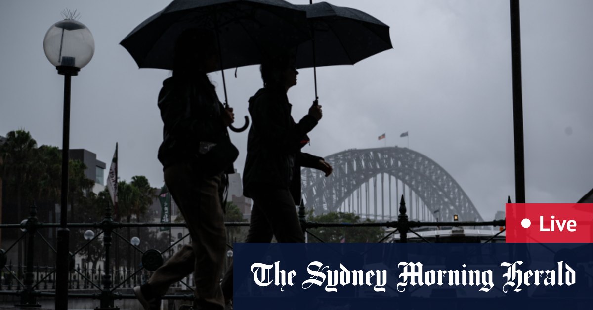
The current wild weather in Sydney is caused by a phenomenon known as the “Black Nor’easter.” This term has been used by meteorologists since the 1800s to describe dark, moisture-laden clouds that come from the north-east and can darken the middle of the day. The Black Nor’easter occurs when a cool pool of air converges with a moisture-rich coastal trough that is supercharged by warmer ocean temperatures. This convergence leads to wild weather, as the warmer ocean temperatures increase evaporation and the amount of water in the atmosphere.
The convergence of the two weather systems results in a significant amount of rainfall, with anywhere from 100 to 300 millimeters expected in Sydney between Thursday and Saturday afternoon. The increased moisture in the atmosphere causes the clouds to appear black due to the high humidity levels. The majority of the rain is expected to fall on Friday and into Saturday morning. In addition to the heavy rainfall, humid northeasterly winds are also forecasted to bring gusts up to 80 km/h along the NSW coast from late Friday afternoon to Saturday morning.
Weatherzone meteorologist Yoska Hernandez explained that the Black Nor’easter phenomenon is characterized by very dark skies and intense rainfall. The atmospheric conditions, including the elevated moisture levels and the interaction of warm and cool air masses, contribute to the formation of the dark clouds and heavy rain. The warmer ocean temperatures during this time of year play a key role in increasing evaporation and adding more moisture to the atmosphere, which in turn leads to more intense rainfall events.
The Black Nor’easter weather pattern is a result of the interaction between a cool pool of air from the Great Australian Bight and a moisture-rich coastal trough. The combination of these two weather systems, along with the warmer ocean temperatures, creates a recipe for wild weather and significant rainfall. As the humid north-easterly winds carry the moisture south and it is cooled by the upper-level low-pressure system, it condenses and falls as rain. This process of condensation and precipitation is what causes the heavy rainfall and dark skies associated with the Black Nor’easter phenomenon.
Meteorologists have been monitoring the Black Nor’easter weather pattern over Sydney, with radar images showing the intensity of the storm system. The forecast predicts a high amount of rainfall and strong winds along the NSW coast, with the potential for up to 300 millimeters of rain in Sydney over the span of a few days. The combination of the moisture in the atmosphere, warm ocean temperatures, and converging air masses creates a volatile weather situation that can result in extreme weather events such as heavy rainfall, strong winds, and dark skies.
Overall, the Black Nor’easter phenomenon is a significant weather event that is currently impacting Sydney and the surrounding areas. The convergence of warm and cool air masses, along with moisture-rich conditions, has created a recipe for intense rainfall, dark skies, and strong winds. Meteorologists are closely monitoring the situation and providing updates on the expected impacts of the weather system. Residents in the affected areas are advised to stay informed and take necessary precautions to ensure their safety during the wild weather conditions.


