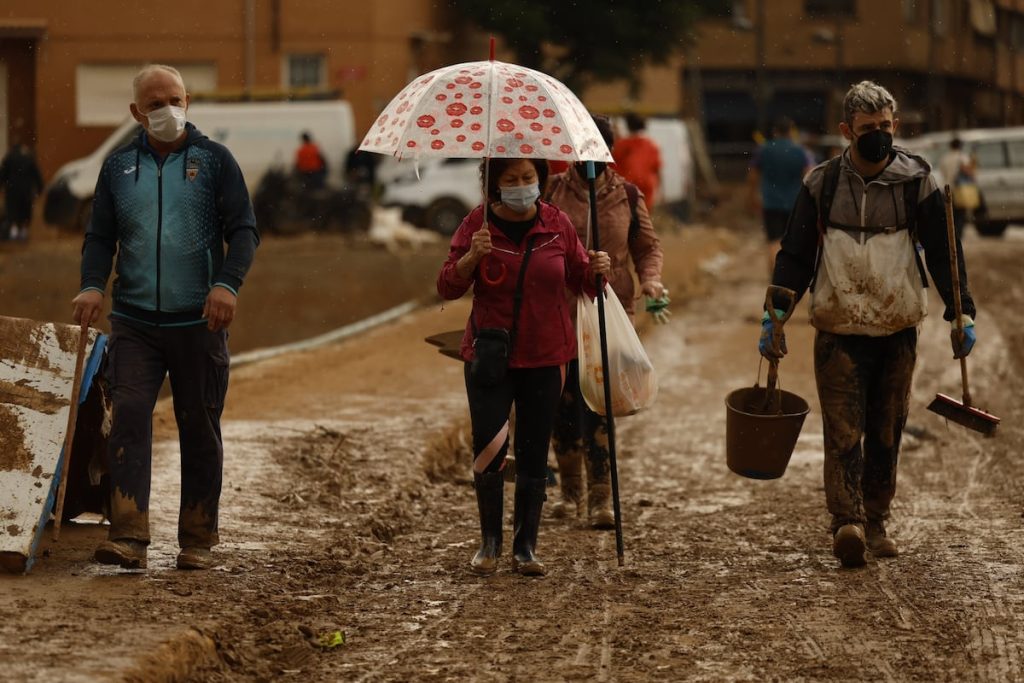
At this time, Catalonia remains under an orange alert, the second of a three-level scale, while the alert is yellow, the minimum, in the Valencian Community and Extremadura, due to the last throes of the dana that has left a trail of destruction across the eastern part of the Iberian Peninsula. The State Meteorological Agency (Aemet) warns of “significant danger during this Monday morning in the coastal and pre-coastal areas of Catalonia: very intense rains are being recorded that could continue for much of the morning”. This phenomenon, however, is expected to dissipate throughout the day, with weak and scattered storms still expected in the Mediterranean area throughout the week, according to Aemet spokesperson Rubén Del Campo.
In Barcelona and Tarragona, where the alert is orange with rain expected at a rate of 40 liters per square meter per hour, accumulations are expected to reach 100-150 liters in 12 hours in some areas. The showers are expected to be localized, meaning nearby areas could experience very different amounts of rainfall. On Monday, strong showers are still possible in areas near the Mediterranean in Catalonia, northern Valencia, and the Huesca Pyrenees. Meanwhile, an Atlantic front will bring rain to the western part of the peninsula, with persistent rainfall possible in northern Extremadura. Temperatures will be slightly lower in the west of the country, with maximum values between 23° and 25° in the Guadalquivir and Cantabrian regions.
On Tuesday, there may be some stormy showers in Catalonia, the Iberian system, and the Pyrenees, but stable weather is expected in the Levant region, Murcia, and Valencia, as well as the Balearic Islands. Rainy conditions are expected in the western part of Galicia and northern Extremadura. Wednesday and Thursday will see stable weather in most of the peninsula, with an increased chance of showers in the Strait of Gibraltar, Levante region, and Balearic Islands. Temperatures will be higher on Wednesday and lower on Thursday, remaining relatively mild for this time of year. The end of the week and weekend will likely see continued instability, with possible intense showers in the Mediterranean and Balearic Islands.
By Friday and the weekend, the weather in the rest of the country is expected to be calmer, with temperatures starting to decrease. In the Canary Islands, the week will begin with some clouds and weak rains in the western islands, with the most notable feature being the entry of suspended dust and the rise in temperatures to over 30° in some areas of the southern and eastern archipelago by mid-week.


