


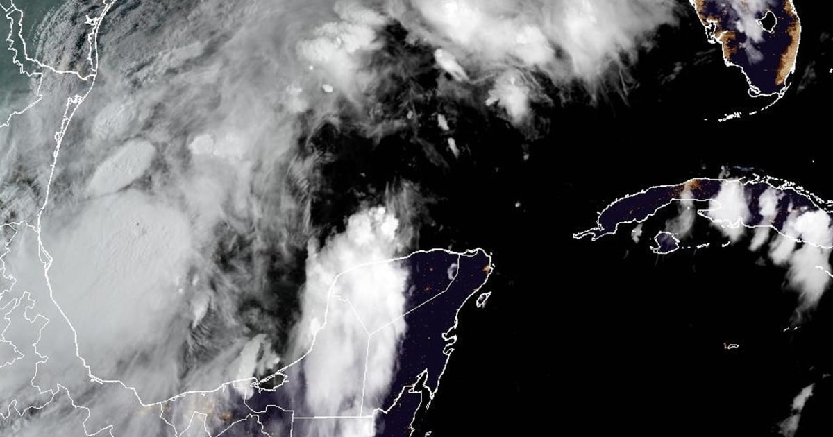
Potential Tropical Cyclone Six has formed over the Gulf of Mexico, prompting the National Hurricane Center to issue tropical storm watches for parts of Mexico. The system is expected to become a tropical storm on Monday as it moves north along the western coast of the Gulf. It is anticipated to strengthen and become a hurricane before hitting the northwestern Gulf Coast midweek. Tropical storm watches have been issued for northeastern Mexico, and additional watches or warnings might be necessary for areas near the southern Texas coast and along the Louisiana coast.
The storm is currently located about 555 miles south of Port Arthur, Texas, with maximum sustained winds of 50 mph. It is moving northwest at 5 mph, with a slow northwestward to northward motion expected in the next day before changing to a faster northeastward motion late Tuesday. The system is predicted to move just offshore of the northern Gulf Coast of Mexico through Tuesday and approach the Upper Texas and Louisiana coastline on Wednesday.
The hurricane center expects Potential Tropical Cyclone Six to bring heavy rain and the risk of flash flooding from the coast of northeastern Mexico to parts of coastal Texas and Louisiana through Thursday. Rainfall totals are forecasted to be between 4 to 8 inches, with up to 12 inches possible in some areas. Minor coastal flooding is also possible along Mexico’s coast as the storm progresses.
The storm is being closely monitored for any changes in intensity or trajectory, with the potential for additional watches and warnings to be issued as it progresses. Residents in the affected areas are advised to stay updated on the latest forecasts and heed any evacuation orders or safety precautions issued by local authorities.
As Potential Tropical Cyclone Six strengthens and continues its path towards the northwestern Gulf Coast, preparations are underway to ensure the safety of residents in the potentially impacted areas. The storm is expected to bring strong winds, heavy rainfall, and the risk of flash flooding, making it essential for individuals to take necessary precautions and stay informed about the latest developments.
Meteorologists are closely monitoring the storm’s progress and providing regular updates to ensure that residents are prepared for any potential impacts. With tropical storm watches already in effect for parts of Mexico and the possibility of additional watches or warnings along the Texas and Louisiana coastlines, it is vital for residents to remain vigilant and follow safety guidelines to protect themselves and their property from the effects of the storm.


