


Milton, a Category 3 hurricane, made landfall near Siesta Key, Florida, about five miles west of Sarasota, with maximum sustained winds of 120 mph. The National Hurricane Center issued warnings of “life-threatening storm surge, extreme winds, and flash flooding” over Florida’s central peninsula. The storm had rapidly intensified into a major hurricane over the past few days in the warm waters of the Gulf of Mexico. It was downgraded to a Category 2 hurricane with winds of 110 mph later in the evening.
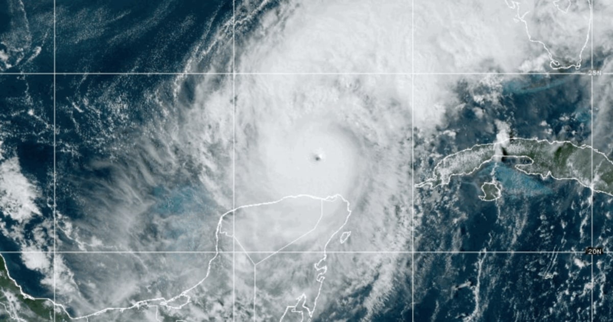
On Monday, Milton was classified as a Category 5 storm, considered potentially catastrophic. By Wednesday morning, it fluctuated between Category 4 and 5 before being downgraded again to Category 4 with sustained winds of up to 155 mph. NBC News forecasters predicted that the storm could weaken back to Category 3 before making landfall on the west coast of Florida, between St. Petersburg and Sarasota, late Wednesday. The National Hurricane Center warned of life-threatening storm surges, flash floods, and destructive winds in the region.
Forecasters issued warnings for areas along the west coast of Florida, such as Tampa, Orlando, Daytona Beach, Sarasota, Fort Myers, and Naples, which were at risk for significant impacts from the storm. Up to 8 inches of rain and storm surges of up to 15 feet were expected, potentially causing power outages, flash flooding, and coastal flooding. The hurricane’s rare origin in the southwest Gulf of Mexico, rather than the Caribbean or the Atlantic, made it unique. It began as Tropical Depression 14 in the Gulf’s Bay of Campeche, and hurricanes following this path to Florida are extremely uncommon, with the last recorded instance being in 1867.
Milton’s swift intensification shocked the Southeastern region still recovering from Hurricane Helene, which struck Florida’s Big Bend region on September 26 and resulted in over 230 fatalities across six states. The hurricane’s evolution from a tropical depression in the Bay of Campeche to a major hurricane hitting the Florida coast has made it a notable and potentially dangerous storm. The storm’s impact included threats of storm surges, flash floods, and powerful winds across Florida’s central peninsula, posing a serious risk to coastal and inland cities along the west coast. As the storm continued to strengthen and move towards Florida, weather officials and residents alike remained on high alert for potential devastation and widespread damage.


