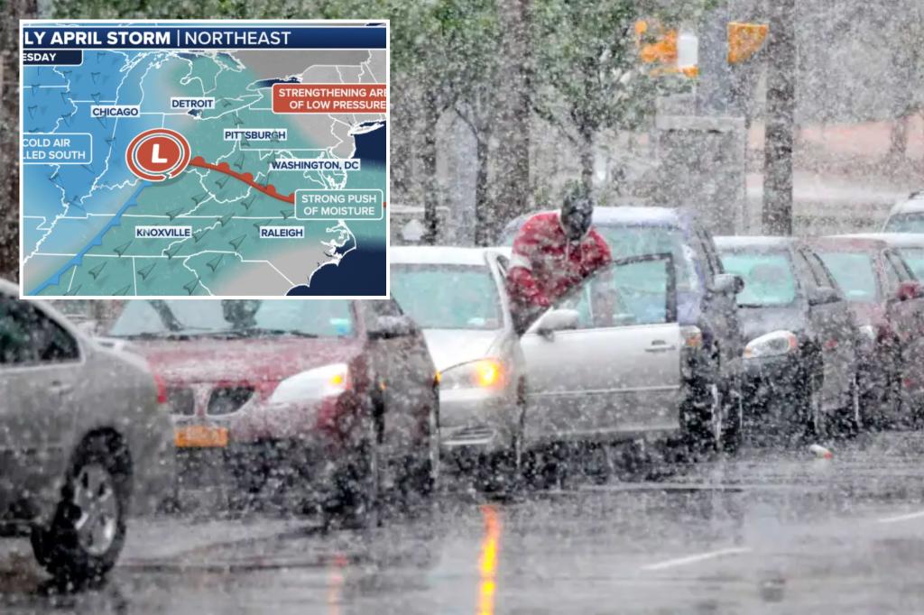
A strong storm system is set to bring heavy snow to the Great Lakes, interior Northeast, and New England starting midweek. The forecast indicates the potential for up to 3 inches of rain in the mid-Atlantic region, with a significant snow event expected in New England. The storm system originated in California and has been moving eastward, impacting areas with rain and thunderstorms along the way.
As the storm system moves towards the Great Lakes and Northeast, warm, humid air is being pulled in, fueling severe thunderstorms and tornadoes across the central US. Michigan and Wisconsin are expected to transition into wintry conditions with rain changing over to sleet, freezing rain, and finally snow. Meanwhile, Syracuse and Boston will experience rain, with higher elevations in New Hampshire and Vermont seeing snow.
As the storm progresses, the stationary front will start to break down, leading to a more complex forecast. A new coastal low is expected to form in the mid-Atlantic, enhancing the impact of rain, snow, and wind in the region. The track and strength of this coastal low will determine the severity of the impact in the I-95 corridor and the amount of snowfall in New England.
On Tuesday, rain will move across the Midwest to the Northeast, while severe storms with damaging winds, hail, and possible tornadoes threaten regions from the Ohio Valley to the Appalachians. Snow will start mixing in across the Midwest and Great Lakes, with sleet and freezing rain impacting Michigan. The Ohio Valley and mid-Atlantic may experience 2-3 inches of rain, raising the risk of flash flooding.
By Wednesday, the coastal storm is expected to intensify near the mid-Atlantic, potentially bringing heavy rain and snow to New England. Weather models are currently differing on the specifics of the storm’s track and strength, with the potential for it to develop into a major coastal storm with significant impacts along the Interstate 95 corridor. Gusty winds and precipitation type will depend on the exact path of the storm.
Gusty winds are forecasted to affect much of the Northeast on Thursday, with snow continuing to fall in New England. The development of the low off the coast could lead to a rapid strengthening of the storm and the possibility of a nor’easter. Due to the uncertainties surrounding the storm’s track, strength, and development, it is too early to determine the most likely outcome for the region.


