


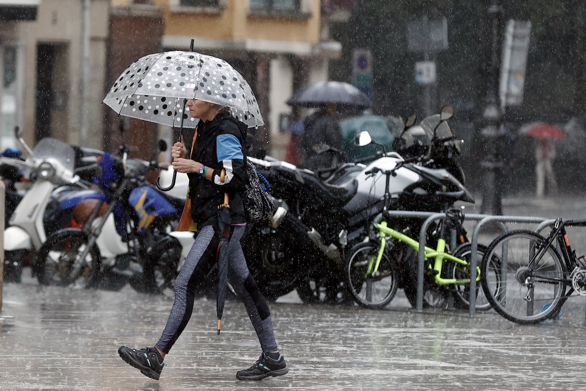
This Monday is a transitional day in the weather, with a predominance of sun throughout the country and no precipitation expected. However, according to Luis Bañón, a spokesperson for the State Meteorological Agency (Aemet), starting from Tuesday, the atmosphere will become unstable due to a storm. The first showers will fall in the southern interior of the peninsula, Levante, and Catalonia. In the following days, these showers, which may locally be strong and accompanied by thunderstorms, will move to the rest of the Peninsula and the Balearic Islands. Additionally, temperatures will drop and be low for this time of year, except in the last stronghold of heat, the southwestern peninsula. Temperatures in the north will hover around 20° and barely exceed 30° in the south. Over the weekend, temperatures showed a stark contrast between less than 4° minimum in large areas of the northern half on Saturday, “abnormally low values for the season,” and over 35° maximum in areas of the southwestern peninsula on Sunday.
This Monday, “atmospheric stability will continue to dominate in much of the country, with just a few weak showers at the end of the day in the Pyrenees and a storm in the Strait area.” Temperatures will “slightly decrease in much of the northern half of the peninsula and in the Canary Islands and rise in the extreme south.” On Tuesday, the situation of stability will continue in much of the country, but the effects of the storm will begin to be felt, located in the northeastern peninsula, with “possible scattered showers and some storms, generally weak, in the eastern Mediterranean area, more likely and intense in the eastern interior of Catalonia, Valencia, and the southeastern mountains, not ruling out that they may be locally strong.” Isolated showers are also not ruled out in the eastern Cantabrian Sea and higher Ebro, as well as in the Canary Islands. Minimum temperatures will decrease in the southeastern half of the peninsula and rise in the rest of the country, while maximum temperatures will decrease in most of the territory, with a notable drop of 6° to 10° in some areas. In the alerts map, five communities will be on alert for rain, storms, wind, or rough seas, which is orange, the second level on a scale of three, in Valencia and Catalonia, while yellow, the minimum, in Andalusia, the Balearic Islands, and Galicia.
On Wednesday, Aemet predicts that the center of the storm will be located to the east of the Peninsula and the Balearic Islands, which will destabilize the atmosphere in those areas, resulting in “occasionally stormy showers, more intense and likely in the northeast, Levante, eastern center, southeastern interior, and the Balearic Islands, with the potential to be locally strong.” In the Canary Islands, showers in the mountainous islands. “Minimum temperatures will rise in much of the country, while maximum temperatures will continue to decrease in the southern and eastern half of the peninsula and in the Canary Islands and rise in the northwestern half of the Peninsula,” completes the forecast expert. Alerts will be reduced to three, with Catalonia and Valencia in orange and Aragon in yellow.
On Thursday, the storm will continue to the northeast of the peninsula, “destabilizing the atmosphere over large areas of the country.” With moderate uncertainty, “showers accompanied by thunderstorms are expected mainly in the central and eastern peninsula, potentially being locally strong.” In the Canary Islands, showers in the mountainous islands. Temperatures will not undergo significant changes. In total, it is expected that more than 130 liters per square meter will accumulate in areas of the northeastern peninsula according to calculations by the meteorological portal Eltiempo.es, which specifies that the most affected autonomous communities will be Navarra, Aragón, Catalonia, and the north of the Valencian Community. The agency points out that the trend for Friday and the weekend is that the storm will move “in a retrograde movement towards the Cantabrian Sea,” resulting in probable precipitation in much of the country, which will be confined to the northeast on Sunday. In terms of temperatures, no significant changes are expected.
The last week of September seems to “strengthen the subtropical anticyclone in the southern peninsula,” which implies fewer than normal precipitation for the time of year in the northern extremity of the peninsula and more than normal in areas of the Canary Islands. In the rest of the country, precipitation will be normal for the time of year. As for temperatures, “they are expected to be above normal in the two-thirds of the western peninsula and closer to normal values in the rest of the country.”


