


The Cascadia megathrust fault, which stretches from southern Vancouver Island to Washington state, has been identified as the most dangerous segment that is likely to host the largest earthquakes, according to recent data. The fault is a massive structure capable of generating devastating magnitude 9 earthquakes, similar to the 2011 Tohoku earthquake in Japan. Researchers have found that the fault is not a single, continuous fracture but comprises at least four segments, with the most dangerous one located off the coast of Washington state and Vancouver Island.
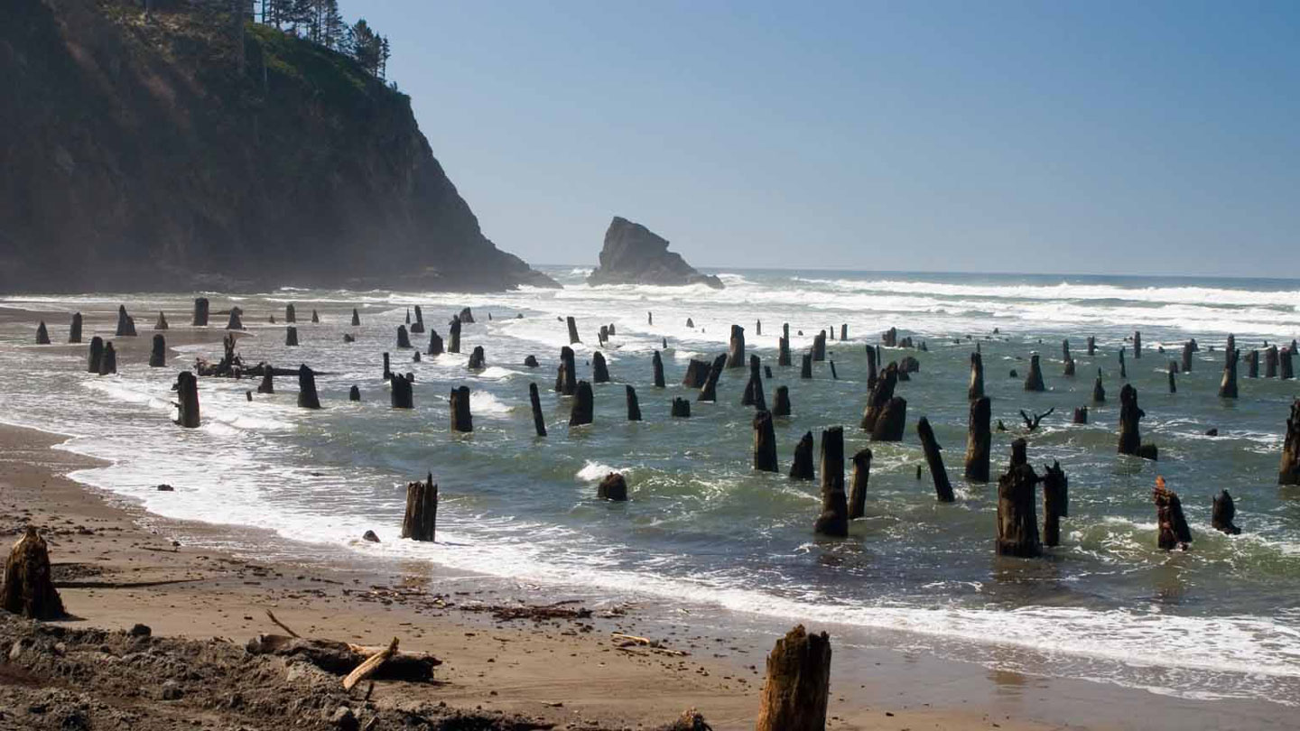
Megathrust faults occur in subduction zones where tectonic plates converge, with one plate sliding under the other. These settings have produced some of the largest earthquakes in history, releasing immense amounts of energy. The Cascadia megathrust fault extends along the west coast of North America, where the Juan de Fuca plate subducts beneath the North American plate. Over the past 10,000 years, the fault has experienced 19 earthquakes greater than magnitude 9, with the most recent occurring in 1700, causing coastal devastation and tsunamis that reached Japan.
Despite the threat posed by the Cascadia fault, it is less understood compared to other subduction zones due to the lack of seismicity providing valuable information about fault geometry. A recent seismic survey conducted along a 900-kilometer stretch of the fault revealed that the Juan de Fuca plate is segmented as it slides under the North American plate due to uneven distribution of rigid rocks. The segmentation of the fault could limit the size of earthquakes, but some quakes may still spread across multiple segments.
Furthermore, the data suggests that the segment extending from southern Vancouver Island features a shallow and gently dipping fault, potentially allowing earthquakes to propagate further east towards major cities like Seattle, Victoria, and Vancouver. Understanding the details of the fault’s geometry is crucial for assessing earthquake hazards and forecasting future events, especially in highly populated areas. The survey also identified small faults near the coast that could slip and generate tsunami waves, resulting in quicker impact to coastal areas compared to waves from offshore earthquakes.
Overall, the study sheds light on the complex structure of the Cascadia megathrust fault and provides valuable insights into earthquake hazards in the Pacific Northwest. The information gathered from the survey will be used to update seismic hazard models and assess the risk to vulnerable coastal communities. By better understanding the fault’s behavior and potential impact, researchers aim to improve preparedness and resilience in the face of inevitable seismic events in the region.


