


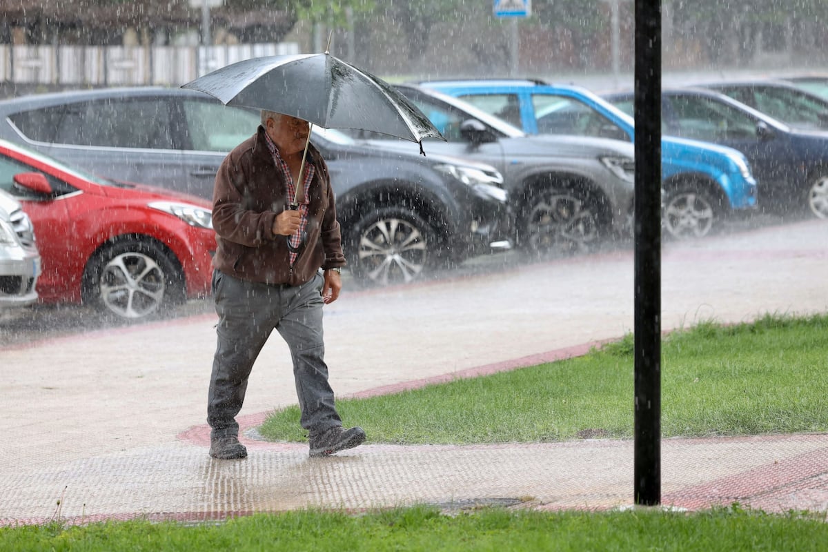
The temperatures, which have been cold since the abrupt drop on Tuesday, will gradually recover over the next few days, although they will remain below the usual values for this time of year, especially in the northwest of the Iberian Peninsula. This will result in temperatures more typical of April than May. Additionally, a low-pressure area near the Peninsula will create an unstable environment with the possibility of rain and showers in the north and east, which may locally be strong, stormy, and accompanied by hail. Rain is expected in Galicia and the Cantabrian communities on Friday morning, spreading to the rest of the northern half in the afternoon as thunderstorms, which may also affect the central region. Weather will be more stable in the southern half, with snow levels rising above 2,000 meters. Temperatures will increase slightly, but will not reach 20°C in many northern areas, except in the northeast where temperatures may reach 24°C in Zaragoza, and exceed 25°C in the south and much of the Mediterranean area.
The weekend will see a similar weather pattern, with instability in the north of the Peninsula extending to the east. Nubes de evolución are expected to form on Saturday and Sunday, leading to showers, especially in regions like Galicia, Cantabria, and parts of Castilla y León, Navarra, La Rioja, Aragón, Catalonia, and the north of the Valencian Community. Temperatures will continue to rise over the weekend, although they will drop in the eastern third due to increased cloud cover. By Sunday, temperatures will surpass 20°C in most of the country and 25°C in the northeast and south, reaching 28°C to 30°C in the valleys of the Guadiana and Guadalquivir rivers. In the Canary Islands, strong trade winds will bring clouds and light rain to the north of the islands, with clearer skies in the south and temperatures ranging from 18°C to 20°C at night and 23°C to 25°C during the day along the coast.
Looking ahead to the following week, rain and showers are expected to continue initially, mainly in the northern and eastern parts of the Peninsula, with precipitation decreasing by Wednesday and becoming more localized to the far north. Temperatures will gradually rise throughout the week, potentially reaching warm levels in many areas, especially in the southern half by the middle of the week. The weather outlook suggests a continuation of the spring-like conditions with humidity in the northern half of the Peninsula, the Canary Islands, and the Balearic Islands. Rain showers will be more sporadic in the rest of the Peninsula, with temperatures more akin to April than May. Overall, the weather will remain changeable with the possibility of storms in the north and east, while the southern areas will experience stable conditions. The situation will be closely monitored to provide timely updates on any developments in the weather.


