


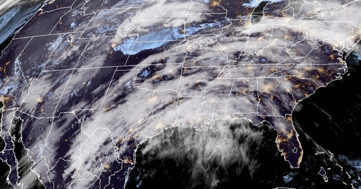
A spring storm system is expected to bring tornadoes, heavy rain, strong winds, and snow to a large portion of the U.S. this week, putting about 38 million people at risk for severe weather from Texas to Illinois. The National Weather Service warns that all forms of severe weather, including damaging winds, tornadoes, and large hail, are possible in these areas. The biggest threat for strong tornadoes is in an area from northeast Oklahoma to central Missouri, with the potential for EF2 tornadoes with wind gusts of 111 to 135 mph. Nighttime tornadoes are especially dangerous, as studies have found them to be twice as deadly as daytime tornadoes.
On Monday, intense storms are expected from Texas to Illinois, with heavy rain and an increased flood risk in the Ohio River Valley. The severe weather risk will shift east into the Tennessee and Ohio River Valley on Tuesday, with heavy downpours potentially leading to localized flooding. By Wednesday, heavy wet snow is likely in New England, with up to 18 inches of snow possible from the Great Lakes into Maine. Flood watches are in effect for eight million people across the Ohio River Valley and into the Appalachians, with a risk of excessive rainfall in other areas.
The same storm system that is affecting the U.S. also brought torrential downpours to California over the Easter weekend, causing severe flooding and road closures in Santa Barbara County. A portion of Highway 1 collapsed into the ocean near Big Sur, stranding drivers and requiring some to sleep in their cars or seek shelter at nearby lodges. Further north in San Jose, lightning struck dangerously close to an airplane, and in Truckee, two people were killed in a plane crash while attempting to land. The victims were identified as Liron and Naomi Petrushka, with the National Transportation Safety Board investigating the crash.
As the storm system moves east, rainfall totals could reach up to 3 inches in some areas from Kansas City to New England, while parts of the north could see up to 18 inches of snow on Wednesday. The National Weather Service warns of localized flooding and the possibility of severe flooding from the middle Mississippi to the central Appalachians. The storm is expected to bring heavy wet snow to New England and last through Wednesday, with impacts on travel and potential dangers from severe weather. Residents in these areas are advised to stay prepared and heed any watches and warnings issued by the weather service.


