


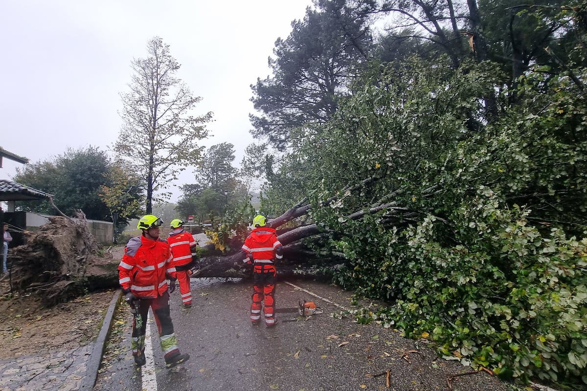
Many regions in Spain are currently under meteorological warning for strong winds, rain, and rough seas due to the effects of the powerful storm exKirk. The regions under an orange warning, the second level on a scale of three, include Asturias, Cantabria, Castilla y León, Galicia, Navarra, País Vasco, and La Rioja. In the rest of the regions, the level is yellow, the lowest. The storm began bringing heavy rain and strong winds to the north, west, and central areas of Spain on Tuesday, with hurricane-force gusts of over 120 kilometers per hour reported in several regions.
The effects of the storm are expected to worsen on Wednesday, with the possibility of even stronger winds and heavier rainfall. The wind gusts are forecasted to reach up to 120 kilometers per hour in certain areas, with the highest recorded at 205 kilometers per hour in the Picos de Europa National Park in Cantabria. The rainfall has also been significant, with up to 87 liters per square meter reported in A Estrada (Pontevedra) and other regions also experiencing heavy precipitation. The State Meteorological Agency has issued special warnings for strong maritime storms on the Atlantic coast of Galicia, with waves reaching up to six to seven meters in height.
As the storm progresses, it is expected to move towards the Cantabrian region, bringing even stronger winds and rough seas. Gale-force winds are expected in many parts of the Peninsula, with the northwest quadrant forecasted to experience the most intense gusts. Meanwhile, heavy rainfall will continue to affect much of the country, with the western part of Galicia potentially accumulating over 120 liters per square meter in 24 hours. By the end of Wednesday, as the storm moves away towards the northeast, the winds are expected to decrease rapidly, but strong gusts may still persist in some areas.
The rainfall is also expected to taper off as the storm moves eastwards, but caution is advised due to the potential for river flooding and landslides, especially in western Galicia. Temperatures are expected to rise slightly due to the warm winds from exKirk, with temperatures reaching up to 28°C near the Cantabrian coast and up to 30°C or 32°C in the Mediterranean regions. By Thursday, the warnings for rain will have lifted, but warnings for wind and rough seas remain in place for certain regions. Andalucía is the only region with a yellow warning for rain and thunderstorms on Friday, unrelated to exKirk but due to a high-level isolated depression.
In addition to the storm effects, Aemet has reported that September 2024 was the coldest September since 2015 in Spain, with temperatures averaging 0.6°C below normal. The month also saw above-average rainfall, with 116% of the normal monthly precipitation recorded across the country. The cold temperatures were particularly felt in the northern regions, while the southeast experienced warmer conditions. Overall, September was characterized as cold and humid in many parts of Spain.


