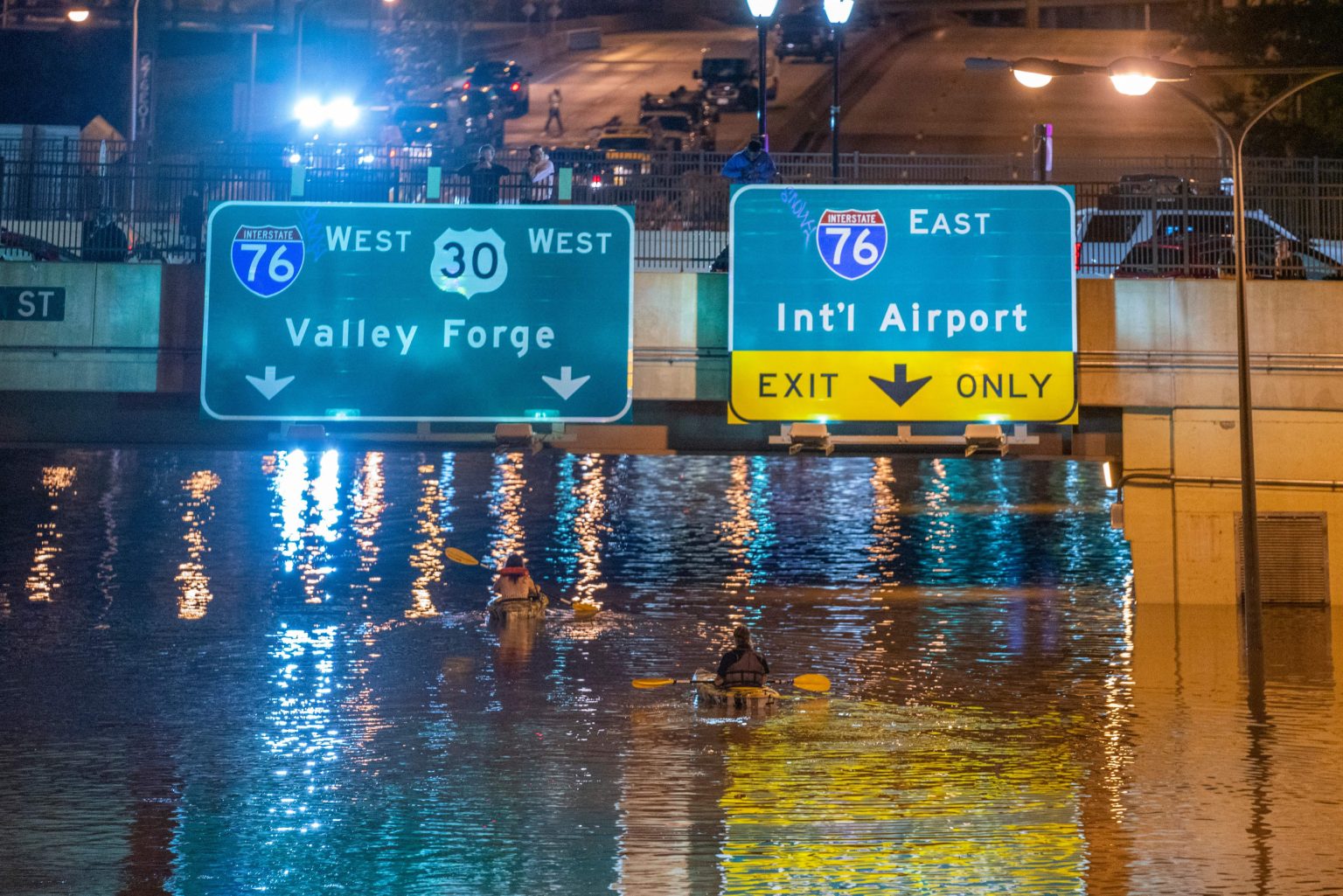
The National Weather Service issued a flood watch for seven states in the U.S. as severe storms moved through the Southern Plains and into the Ohio Valley on Monday and Tuesday. The Storm Prediction Center warned of severe weather risks such as large hail, tornadoes, and damaging winds in states including Illinois, Indiana, Ohio, Kentucky, West Virginia, and small areas of Pennsylvania and Virginia. The areas at highest risk for severe thunderstorms included north Texas, Oklahoma, part of Kansas, northwestern Arkansas, central and southern Missouri, and southern Illinois and Indiana.
The NWS Storm Prediction Center issued warnings for various forms of severe weather in the affected states, including very large hail, tornadoes, and damaging thunderstorm winds. Multiple rounds of showers and thunderstorms were expected to bring several inches of rain with a cumulative effect that could lead to excessive runoff and potential for flash flooding. Total rainfall estimates through Tuesday evening reached 2 to 3 inches across the watch area, with locally higher amounts up to 4 inches possible. The excessive rain could result in flooding of rivers, creeks, streams, and low-lying areas.
NWS meteorologist David Shallenberger noted that the excessive rainfall in Pittsburgh could exceed the city’s monthly average for April over the next two days. While the heavy rain was not uncommon for this time of year, there was also a threat of tornadoes, hail, and damaging winds in addition to the excessive rainfall. Ohio was expected to experience the heaviest rain from Monday night through Tuesday, with rainfall potentially exceeding 4 inches during that time period. The NWS advised residents to stay weather aware and prepared for potential severe weather events.
The Storm Prediction Center extended the severe weather warning into the next day for parts of the Ohio and Tennessee Valleys, with the possibility of large to very large hail, tornadoes, and damaging winds still present. The risk of tornadoes extending into the overnight hours was also emphasized by the NWS, urging residents to remain vigilant. The storms were expected to move through various states in the Southern Plains and Ohio Valley, bringing potential for severe weather impacts such as flooding, strong winds, and tornadoes.
The NWS office in Pittsburgh issued a flood watch for the area, warning of multiple rounds of heavy rain that could lead to excessive runoff and the potential for flash flooding. The office emphasized the possibility of flooding in rivers, creeks, streams, and low-lying areas, as well as in poor drainage and urban areas. With rainfall estimates reaching up to 4 inches in some areas, residents were urged to take precautions and stay informed about the changing weather conditions. The threat of tornadoes, large hail, and damaging winds added to the overall severe weather risk in the affected states during the storm system’s passage through the region.
Overall, the severe storms moving through the Southern Plains and Ohio Valley posed significant risks of severe weather, including large hail, tornadoes, and damaging winds. The NWS issued flood watches for several states, warning of heavy rainfall that could lead to flash flooding and other water-related issues. Residents were advised to stay alert and prepared for changing weather conditions, with the potential for severe thunderstorms and other hazardous weather impacts. The NWS continued to monitor the situation and provide updates as the storm system progressed through the affected areas.


