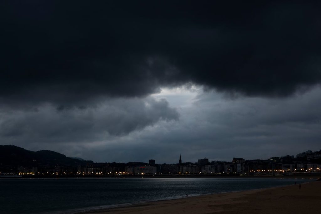
This week, Spain is facing a new adverse situation due to the arrival of a DANA or a cold cyclonic storm from northern Europe, as stated by Rubén del Campo, spokesperson of the State Meteorological Agency (Aemet). The agency is expecting heavy and persistent rainfall in the Balearic Islands and Mediterranean coastlines starting on Tuesday, coinciding with the aftermath of the worst DANA that has hit the country so far in this century. Additionally, this storm will bring a sudden winter cold, with a significant drop in temperatures and snowfall expected at around 800 to 1,000 meters in the northern part of the country.
The distinction between a DANA (Isolated Depression at High Levels) and a cold cyclonic storm may be technical, but the consequences for the population will be similar. Both are low-pressure systems, with a DANA primarily occurring at medium and high levels of the atmosphere while a cold cyclonic storm also affects lower levels. Despite these technical nuances, both phenomena are isolated from the general atmospheric circulation, making their final position difficult to predict, which is crucial for determining the distribution and amount of precipitation. The storm is expected to bring moist winds from the Mediterranean, leading to heavy rainfall in various regions, with uncertainty about the exact areas affected.
On Tuesday, the approach of the storm will bring increased instability and rainfall across northern areas of the Iberian Peninsula, with particularly heavy downpours expected in the eastern Cantabrian region and potentially intense thunderstorms along the Mediterranean coast and the Balearic Islands. Snowfall is forecasted in mountainous regions, with significant accumulations in the Pyrenees, Cantabrian Mountains, and northern Iberian System. This precipitation will coincide with a significant drop in temperatures, cold north winds, and frost in mountainous areas. Various regions have issued weather warnings for rain, storms, wind, and rough seas.
Wednesday will see further temperature decreases, especially in southern areas. The weather will be cold, almost winterlike, with weak frost in mountainous regions and eastern central plains. Rainfall is expected to continue in the Cantabrian region, while the most unstable conditions will be observed in the Balearic Islands, eastern and southern areas of the Peninsula. Snowfall will persist in northern and eastern mountain ranges, with wind gusts adding to the unfavorable conditions. Weather warnings are in place for rain, storms, or rough seas in Andalusia, the Balearic Islands, Catalonia, and the Valencian Community.
By Thursday, the forecast becomes more uncertain, with precipitation levels dependent on the position of the low-pressure area. Temperatures are expected to rise significantly in many areas, returning to more typical autumnal conditions, which will lead to higher snow lines. Towards the end of the week, Atlantic storms may bring rain to western regions of the Peninsula, accompanied by milder temperatures. Meanwhile, in the Canary Islands, temperatures are expected to normalize after a period of unusually high temperatures, with the possibility of rainfall in mountainous areas in the coming days.


