


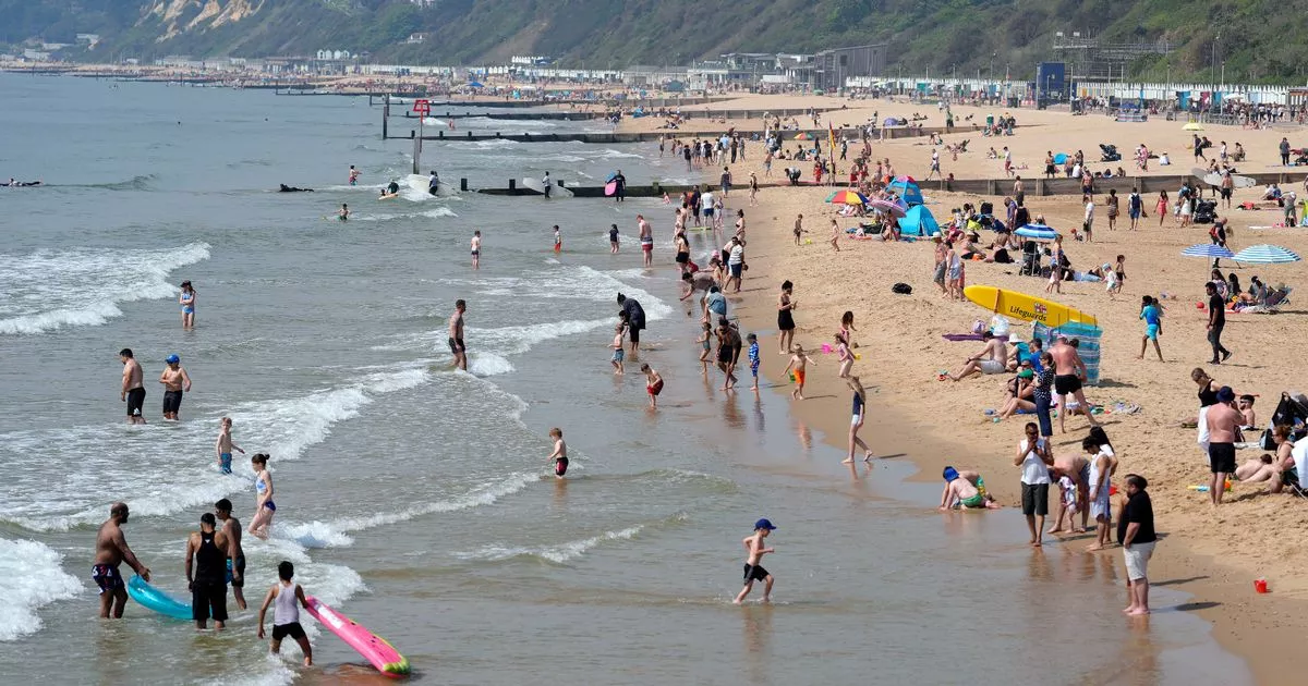
The Met Office provides weekly analysis of its weather forecast through Deep Dive videos, focusing on recent sunny weather. High pressure is likely to return in the next 10 days, hinting at the possibility of a “mini-heatwave” like the one experienced earlier this month. Data indicates a 61% chance of high pressure on Saturday May 25, the upcoming bank holiday, offering hope for warm temperatures. However, meteorologists caution that these signals are weak and it is not certain. Temperatures may not reach the scorching highs of last week, with easterly winds expected to keep mercury levels around 20C in some regions.
A chart created by the Met Office highlights the best chances of high pressure, with some days showing stronger indications of sunny weather. Saturday May 25 seems to have the highest probability of warm temperatures, although surrounding days also show decent odds. Forecasts predict that temperatures may not reach the previous highs of 25.9C, with easterly winds keeping levels around 20C in some areas and 15C in others. Similar conditions were seen recently, with Scotland experiencing temperatures around 12C and rain affecting parts of the UK. Nearly one month’s worth of rain was expected in certain regions overnight into Friday.
The Met Office extends its warning to every UK town, as flooding risks are heightened this weekend. The forecast points towards possible travel chaos, urging residents to stay informed and take precautions. Weather models suggest that while there may be chances of high pressure and warmer temperatures, uncertainties remain due to the current weak signals. Easterly winds are expected to play a significant role in determining the extent of temperature rises, with varying conditions expected across different regions.
Forecasts from alternative sources indicate that temperatures may not reach the heights seen in the previous heatwave, with regions like Merseyside, Lancashire, Greater Manchester, and parts of Southeast England likely to experience temperatures around 20C. Whilst temperatures in parts of Scotland and Northern Ireland may remain lower, rain is expected to affect various areas in the UK. The overall outlook for the upcoming bank holiday weekend suggests a mixed bag of weather conditions, with easterly winds influencing temperatures and the likelihood of rain in different regions.
In conclusion, the Met Office’s analysis reveals a potential return of high pressure and warmer temperatures in the next 10 days, although uncertainties exist due to weak signals. While there are indications of sunny weather, certain regions may not experience the same scorching highs as before, with easterly winds contributing to variations in temperatures across the UK. Residents are advised to stay informed about potential flooding risks and travel disruptions, as varying weather conditions are expected for the upcoming bank holiday weekend.


