


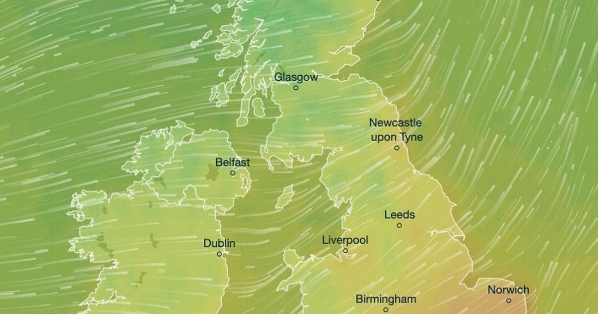
The UK is enjoying a mini heatwave as temperatures have been exceeding 20C, making it the warmest day of the year so far. The warm weather is due to winds coming in from the southwest, bringing in a plume of Atlantic warmth across the country. East and Southeast England are experiencing the best of the weather, with areas like Suffolk, Essex, and Norfolk seeing temperatures hitting 20C or higher. Even areas like Cumbria, which struggled with temperatures at 9C earlier in the week, are reaching 12C. However, forecasters warn that the warm weather will not last long, with temperatures expected to drop by as much as -13C in some areas in the final Arctic winter blast.
Daily high temperatures have reached 20C or more in different parts of the UK, with regions like Weybourne, Norfolk, and St. James’ Park, London, experiencing temperatures above 20C. The warmest day of the year so far was reached, and the country is basking in the warmth brought in by winds from the southwest. The Met Office predicts that the warm weather will continue for a while longer but will soon be replaced by a sudden drop in temperatures, especially on Monday when forecasts suggest that areas like Lancashire, Cumbria, and central Scotland will see temperatures as low as 2C. Winds will intensify, reaching up to 50mph in Northern Ireland, making it feel even colder across the country.
Despite being referred to as a mini heatwave, the Met Office clarifies that the current weather conditions do not meet the technical threshold for a heatwave. However, many parts of the UK are experiencing temperatures in the 20Cs, leading to claims of a mini heatwave. Even regions like Somerset in the Southwest of England are seeing temperatures of around 18C. As the weekend progresses, cooler weather will slowly move in from the Northwest of England, bringing showers and cooler temperatures. Southern and eastern areas will continue to experience warmer weather, with cooler temperatures predicted for Monday.
The sudden change in temperature is expected to occur on Sunday, with showers moving in from the west and cooler air replacing the warmer temperatures. Monday will see a significant drop in temperatures across the country, with areas like Manchester, Brighton, and Portrush experiencing much cooler weather compared to the highs of the previous days. Temperatures which were in the high teens earlier in the week will plummet into single figures, with many areas feeling much colder due to strong winds. The weather shift marks the end of the mini heatwave, and Brits should prepare for cooler and wetter conditions in the coming days.
The warm weather is being driven by winds from the southwest, sending a plume of Atlantic warmth across the UK, resulting in temperatures exceeding 20C in some areas. Maps issued by forecasters show that most of Greater London, East Anglia, and Southeast England will experience highs of 20C or more for the third consecutive day. The temperature increase has led to beautiful spring scenes across the country, with areas like Warwick Park in Warwickshire basking in the lovely weather. However, Brits are advised to make the most of the warm weather as temperatures are set to drop significantly on Monday, signaling the end of the mini heatwave.


