


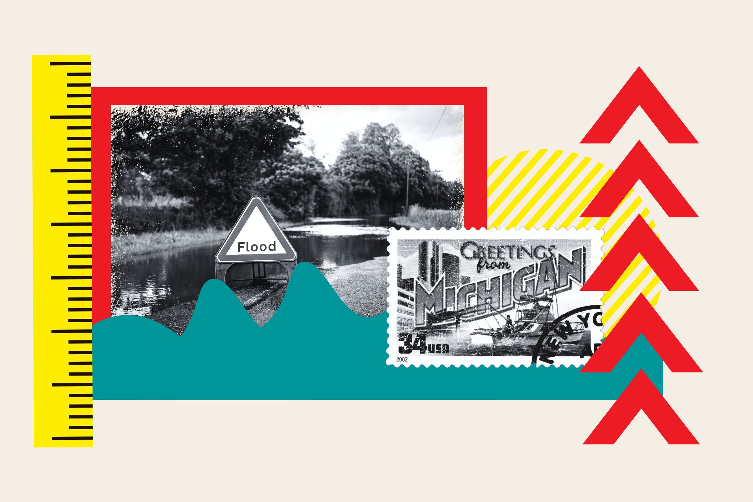
A new interactive map has been developed to show the potential impact of rising water levels on Michigan’s lakes due to climate change. The Great Lakes, which span the U.S. and Canada, are integral to Michigan’s geography and are at risk of expanding shorelines that could submerge surrounding areas. Research suggests that Lake Superior, Michigan-Huron, and Erie could see a rise of 20 to 50 centimeters by 2050, leading to increased coastal erosion, navigation challenges, and flooding.
Michigan Technological University research reveals that the Great Lakes have experienced extreme fluctuations in water levels, exceeding 2 meters over recent decades. These changes are driven by climate-induced alterations in over-lake precipitation, evaporation, and basin runoff. The National Oceanic and Atmospheric Administration has created an interactive map that allows users to visualize how rising lake levels could impact Michigan’s shoreline. Lake Michigan may see catastrophic effects in a worst-case scenario, with locations like Muskegon Lake and areas along Lake Huron being particularly vulnerable.
In addition to the Great Lakes, experts predict rising water levels in oceans globally, leading to increased flooding of coastal areas. The NOAA has developed interactive tools to illustrate the potential impact on countries and regions as sea levels rise. The Intergovernmental Panel on Climate Change warns of significant sea level rise by 2100 if greenhouse gas emissions continue unchecked, with the possibility of a rise of 2 meters or more. The NOAA’s interactive maps highlight potential consequences, such as damage to states like Georgia and major cities like Los Angeles, San Diego, and New York.
While these projections provide valuable insights into the potential impact of climate change on water levels, there are uncertainties in predicting exact outcomes. Sudden events, such as the collapse of an ice sheet into the sea, could significantly alter sea levels and coastal inundation patterns. The interactive maps serve as a tool to raise awareness of the risks posed by rising water levels to coastal communities and ecosystems, prompting discussions about mitigation strategies and adaptation measures to safeguard vulnerable regions. The visualization of potential scenarios can inform decision-making and policy development to better prepare for future changes in water levels due to climate change.


