


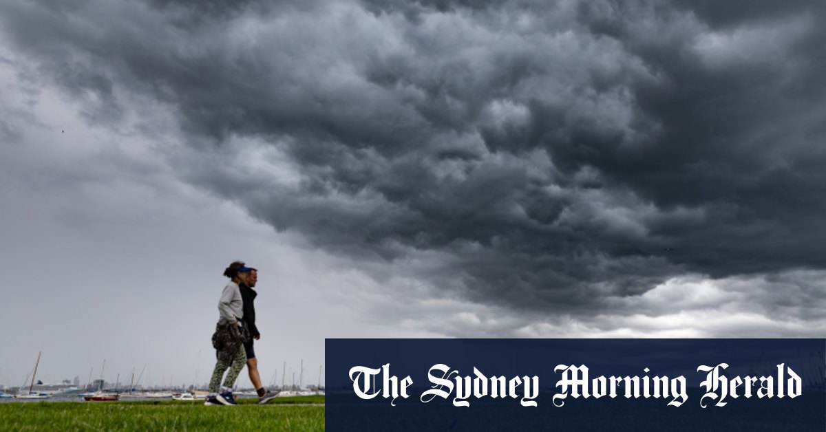
Flash flooding may hit Melbourne late on Easter Monday due to severe weather conditions, including heavy rainfall and damaging winds, that are expected to pass through much of central Victoria. Meteorologist Stephanie Miles from the Bureau of Meteorology stated that a cold front will trigger thunderstorms in western Victoria in the morning, with the heaviest rainfall concentrated in areas like Ballarat and the Otways in the afternoon before moving to Geelong and Melbourne in the evening. The storms will then pass over the city overnight and deliver downpours to the Eastern Ranges. While flash flooding is a possibility, riverine flooding is not expected.
The communities in the warning zone include Bendigo, Seymour, Maryborough, Ballarat, Geelong, and Melbourne, extending from close to Stawell in the west to Falls Creek in the east. The weather bureau alert predicts six-hourly rainfall totals between 30 and 50 millimetres, with isolated falls of up to 70 millimetres possible. Peak wind gusts of around 90 km/h are also expected in the central and northeastern ranges starting from this evening. It is important for residents in these areas to be prepared for potential flash flooding and take necessary precautions to stay safe during the severe weather.
With the smoke haze that has covered Melbourne for days potentially being dispelled by the thunderstorms, the severe weather warning for heavy rainfall and damaging winds poses a new threat to the region. The increasing cold front is expected to bring thunderstorms to western Victoria on Monday morning, with the heaviest rainfall hitting western areas before moving towards Geelong and Melbourne in the evening. The Bureau of Meteorology advises residents to remain vigilant and stay updated on weather alerts as the storms continue to move across central Victoria.
While flash flooding is a major concern with the heavy rainfall expected from the passing storms, the weather bureau reassures that riverine flooding is not likely to occur with this weather event. Communities such as Bendigo, Seymour, Maryborough, Ballarat, Geelong, and Melbourne are urged to prepare for the potential impact of the severe weather and take necessary steps to protect themselves and their properties. The warning zone extends from Stawell in the west to Falls Creek in the east, with significant rainfall and strong wind gusts expected in the region.
As the thunderstorms continue to advance across central Victoria, residents are advised to be cautious and monitor weather updates to stay informed about the evolving situation. The heavy rainfall and damaging winds predicted for much of the region could lead to flash flooding and other weather-related hazards. With peak wind gusts of up to 90 km/h possible in certain areas, it is important for individuals to take appropriate measures to ensure their safety and well-being during the severe weather conditions. By staying informed and prepared, residents can effectively respond to any emergencies that may arise due to the passing storms.


