


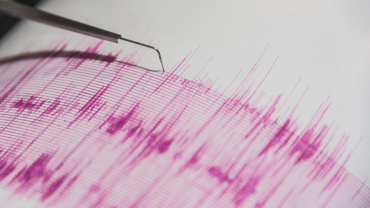
According to information on the website of the Disaster and Emergency Management Presidency (AFAD), a 3.9 magnitude earthquake was recorded off the coast of Kaş district in Antalya at 22:26. The epicenter of the earthquake, which was approximately 91.25 kilometers away from Kaş, was determined to have occurred at a depth of 21.78 kilometers.
The earthquake information shared on AFAD’s Twitter account revealed details such as the magnitude, location, date, time, latitude, longitude, and depth of the earthquake. The tweet provided specific coordinates for the earthquake and directed users to a link with further details. The earthquake, which struck in the Mediterranean Sea near Kaş, was notable for its magnitude of 3.9 on the Richter scale.
Earthquakes are not uncommon in Turkey, as the country is located in a seismically active region. The occurrence of earthquakes is monitored closely by AFAD, which shares real-time updates and information with the public through its website and social media accounts. The recent earthquake off the coast of Kaş serves as a reminder of the importance of being prepared for natural disasters and having emergency plans in place.
Residents in the affected region may have felt the tremors caused by the earthquake, which could potentially cause damage to buildings and infrastructure. It is crucial for individuals living in earthquake-prone areas to be aware of safety protocols and evacuation procedures in the event of a seismic event. AFAD works to provide guidance and support to communities in preparing for and responding to earthquakes and other emergencies.
As seismic activity continues in Turkey and around the world, monitoring and reporting systems play a significant role in ensuring public safety. AFAD’s efforts in tracking earthquakes and disseminating information are essential for effective disaster management. By staying informed and following safety guidelines, individuals can better protect themselves and their communities in times of crisis.


