


Hurricane Milton is a massive storm in the Gulf of Mexico that is expected to make landfall in Florida late Wednesday night or early Thursday morning. The storm has fluctuated between a Category 4 and 5, with photos and videos taken from space showing the storm approaching Florida’s western coast. NASA astronaut Matthew Dominick captured timelapse footage of the storm from the International Space Station, noting that it appeared even bigger than it had the day before. Due to the storm, the return of Dominick and three other astronauts from the International Space Station has been delayed.
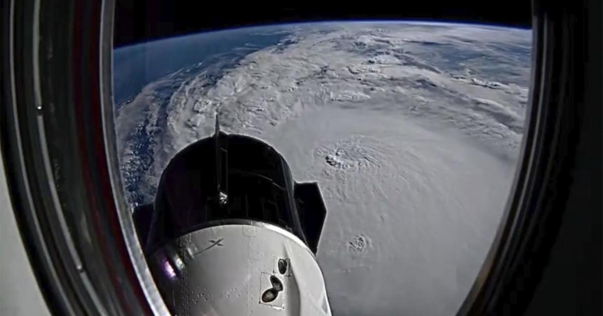
External cameras attached to the International Space Station have captured still images of Hurricane Milton, showing the small eye at the center of the storm. Additional photos shared by NASA’s Johnson Space Center and space station accounts provide various views of the massive storm from above. A longer video from the external cameras shows the station traveling over Hurricane Milton when it was a Category 5 storm. The National Weather Service in Tampa Bay describes Milton as a historic storm for the west coast of Florida, potentially the worst to hit the Tampa Bay area in over a century.
After making landfall in Florida, Hurricane Milton is expected to continue across the state while rapidly weakening as it loses the warm Gulf waters that fuel it. The storm is predicted to maintain hurricane status before transitioning into a tropical storm as it exits into the Atlantic Ocean on Thursday afternoon. The storm’s path may bring impacts to areas such as Tampa Bay and Sarasota, with potential for severe weather conditions and significant damages. Residents and officials are preparing for the impact of Hurricane Milton as it approaches the state, taking necessary precautions to ensure the safety and well-being of those in the storm’s path.


