


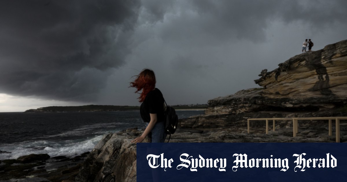
The Bureau of Meteorology is forecasting severe weather conditions along the NSW coast, with northeasterly winds bringing gusts up to 80km/h. Thunderstorms are expected to form over the north-east of the state from Thursday, leading to heavy rain in Sydney by the afternoon. Warragamba Dam is expected to reach capacity soon, sending water down its spillways. A hazardous surf warning has been issued for the NSW coast, with major flooding expected in several catchment areas including the Hawkesbury River and lower parts of the Nepean River.
The convergence of two weather systems is creating a recipe for wild weather, with warmer ocean temperatures leading to increased evaporation and moisture in the atmosphere. This moisture is carried south by humid north-easterly winds and cooled by upper-level low-pressure systems, causing it to condense and fall as rain. This phenomenon was seen during Sydney’s wettest year on record in 2022, which resulted in widespread flooding across the state. The “Black Nor’easter” system is separate from the one that caused heavy rain in Victoria earlier in the week but is expected to bring more rain and wild weather to NSW over the weekend.
The Bureau has issued warnings for numerous catchment areas likely to be affected by flooding, including rivers and coastal regions. The forecasts suggest a range of flooding levels from minor to major in various rivers and lakes throughout the state. The weather conditions are expected to bring hazardous surf conditions and marine wind warnings to the Coffs Harbour and Macquarie regions, with the potential for continued weather impacts through Friday night.
In Victoria, a woman was nearly drowned in a stormwater drain amidst hundreds of emergency calls for help during the wild weather. The combination of intense rain and high winds has created dangerous conditions in many areas, necessitating caution and preparedness. As the weather systems continue to evolve and produce heavy rainfall, authorities advise residents to stay informed through official weather updates and be vigilant in case of emergencies. The impacts of the weather conditions are likely to persist through the weekend, with potential for further flooding and hazardous conditions along the NSW coast and in other affected regions.
With the state’s dam network at 92% of capacity and Warragamba Dam nearing full capacity, the potential for significant spillage and increased water flow is a concern for authorities and residents in the area. The risk of major flooding in the Hawkesbury River and lower Nepean River areas is being closely monitored by emergency services and local authorities. The intense weather patterns and convergence of two systems are creating a challenging situation for affected areas, requiring proactive steps to minimize the impact on communities and infrastructure. Residents are urged to take precautions and stay tuned to official sources for updates on the evolving weather conditions and any necessary safety measures to be implemented.


