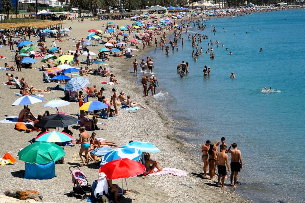
The upcoming week is expected to be stable and marked by the subtropical anticyclone centered in the Azores and low relative pressures of thermal origin in the southwestern Iberian Peninsula. This will result in mostly clear skies and a return of intense heat, with very high temperatures expected especially between Tuesday and Thursday. The Spanish State Meteorological Agency (Aemet) has declared the arrival of the second heatwave of the summer, with temperatures reaching 40 to 42 degrees during the day in the central and southern parts of the peninsula and warm nights with temperatures not dropping below 22 to 24 degrees.
The movement of the African anticyclone over the Iberian Peninsula, combined with the strong sunlight, lack of clouds, and calm winds, will lead to an increase in temperatures, particularly in the central and southern parts of the peninsula. This situation poses a significant risk for people exposed to the heatwave. The heatwave is expected to peak on Wednesday, with temperatures remaining high in many areas. However, by Thursday, a cooler air mass will begin to enter the southwestern part of the peninsula, introducing some uncertainty about the persistence of very high temperatures in certain areas.
Aemet predicts that the heatwave may persist and expand to a larger area on Wednesday, which will be the peak day of the episode. For a heatwave to be officially declared, certain thresholds must be met in terms of duration, intensity, and extension. The duration must be at least three days, the intensity defined by maximum temperatures exceeding the 5% of the hottest days in July and August, and the extension requiring at least 10% of meteorological stations to report high temperatures.
Temperatures are expected to remain very high for most of the week, with values reaching 40 to 42 degrees in central and southern parts of the peninsula. Nighttime temperatures will also be warm, creating uncomfortable conditions for many areas. Aemet has expressed uncertainty about the duration of the heatwave, estimating a probability of occurrence between 40% and 70%. While there were doubts about the previous heatwave, due to its short duration and lower intensity, this upcoming heatwave is expected to have a greater impact.
As temperatures continue to rise throughout the week, with some areas reaching up to 44 degrees, the effects of the heatwave will be felt across various regions of the peninsula. The extreme temperatures, combined with warm nighttime conditions, pose a significant risk for the general population. However, by the end of the week, temperatures are expected to gradually decrease in some areas, indicating the possible end of the heatwave, although elevated temperatures may still persist in certain regions.


