


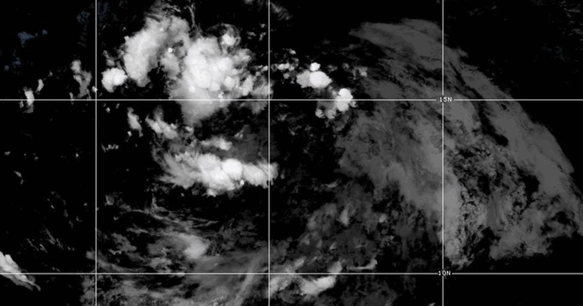
As parts of the East Coast are still recovering from the destruction caused by Hurricane Debby, another potential tropical storm, Potential Tropical Cyclone Five, is developing in the Atlantic. The storm was located 875 miles east-southeast of Antigua and was moving west-northwest at 23 mph, putting multiple Caribbean islands in its potential path. The National Hurricane Center predicted that the potential cyclone was gaining enough strength to become a named tropical storm by the end of Monday, possibly taking on the name Ernesto. While it had not yet reached hurricane status, it was producing maximum sustained winds of 30 mph and would need to reach 39 mph to be classified as a tropical storm.
A 48-hour U.S. tropical storm watch was issued for several Caribbean islands, including Guadeloupe, St. Kitts, Nevis, and Puerto Rico, warning of damaging winds, high surf, and potential flooding of up to 6 inches of rain. The front was expected to reach these islands by early Tuesday afternoon, with populations in the Leeward Islands, the British and U.S. Virgin Islands, and Puerto Rico advised to monitor the storm closely as it could potentially strike them early Wednesday. The federal forecast track indicated that the potential cyclone would move into the Caribbean region before turning northward into the Atlantic, keeping it off the coast of the mainland U.S. for the time being.
The formation of the potential cyclone aligns with the latest outlook for the Atlantic hurricane season from the National Oceanographic and Atmospheric Administration (NOAA), which predicts a 90% chance of an above-normal number of storms by the end of the season in November. Colorado State University’s hurricane forecast also supports this assessment, attributing the increased storm activity to near-record warmth in the tropical Atlantic providing a conducive environment for storm development. The institution anticipates a well above-average likelihood of major hurricane landfalls given the extremely warm sea surface temperatures providing fuel for hurricane formation and intensification.
The potential cyclone, if it reaches tropical storm status, would be the fifth named storm of the Atlantic hurricane season so far. The National Hurricane Center had not yet forecasted the front to reach hurricane status, which would require sustained winds of 74 mph or greater. However, the storm’s rapid development suggested that it was on track to become a named tropical storm by the end of Monday. With the potential for high winds, surf, and heavy rainfall, residents in the Caribbean islands under the tropical storm watch were urged to take precautions and be prepared for the storm’s impact.
As the potential cyclone continues to develop and move west-northwest, the National Hurricane Center is closely monitoring its progression. The storm’s path is projected to impact several Caribbean islands before turning northward into the Atlantic, potentially avoiding a direct hit on the mainland U.S. While the storm’s ultimate intensity and impact remain uncertain, the hurricane season outlook from NOAA and Colorado State University suggests a heightened risk of major hurricane activity and landfalls. Residents in the affected regions are advised to stay informed and prepared for potential impacts from the developing tropical storm.


